Large media coverage on PermaSense
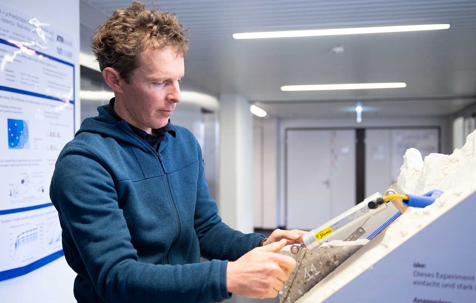
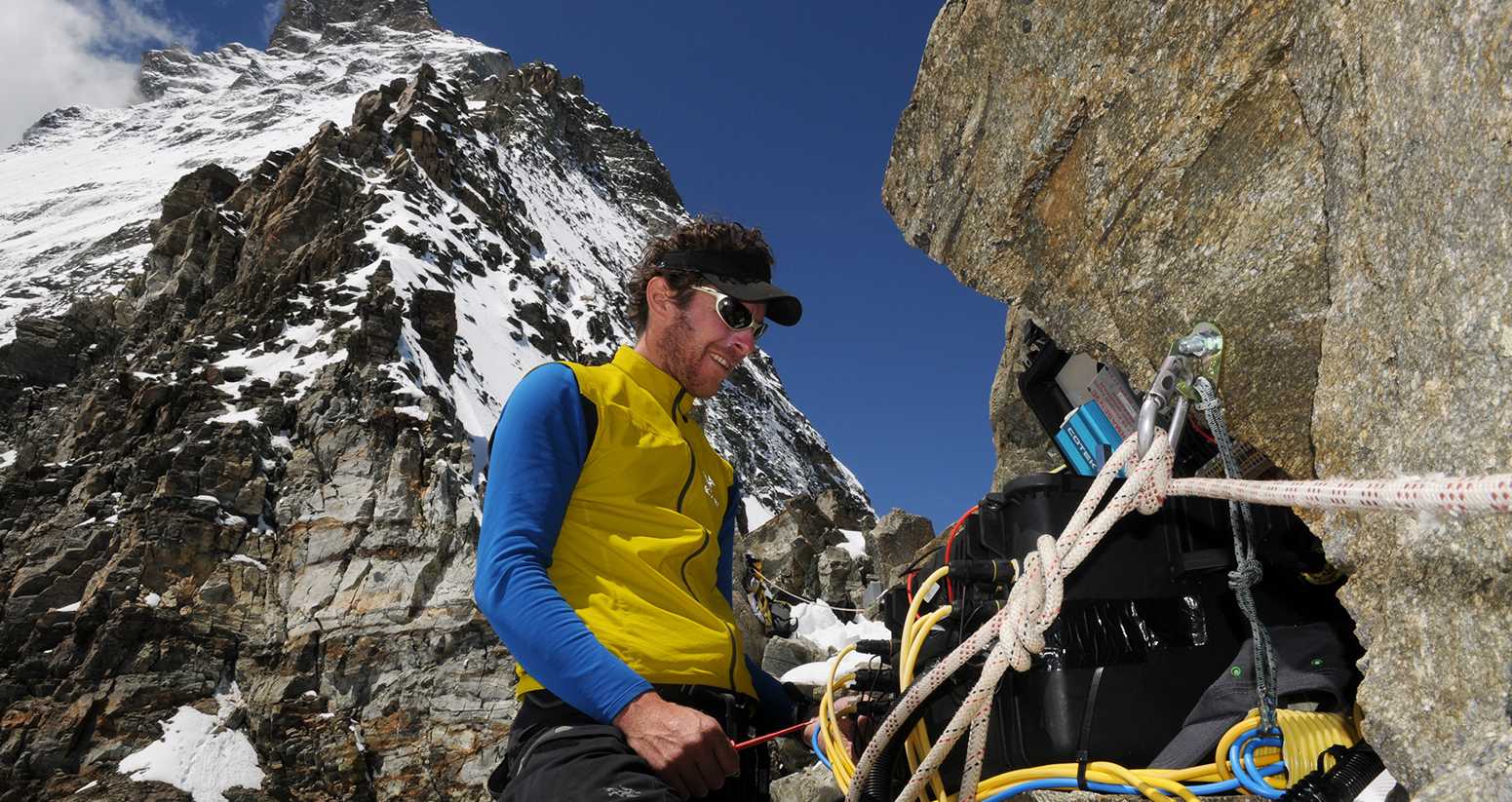
Jan Beutel from the Computer Engineering and Networks Laboratory (TIK) takes a look back on the past ten years working on the PermaSense project. National and international media have recently regularly reported on the network of wireless sensors on the Matterhorn’s Hörnli ridge.

Why did you found the PermaSense project?
Towards the end of my PhD, around the mid-2000s, we were looking for research partners in the area of Wireless Sensor Networks. Up to that time, our work in that area was purely technology-driven. We were eager to gain exposure with "real applications" in a more applied project. The goal was to develop and demonstrate novel concepts, methods and tools for long-term autonomous sensing in high-mountain environments. Until then real deployments of sensor networks were fragile and more an art to build rather than solid technology with its respective foundations.
From the start, this effort was on one side about vertical integration for a given application (to deliver geoscience data) and on the other side that both partners, geosciences and engineering, also wanted to innovate on a horizontal slice close to their home research area. Overall, this model has been wildly successful as concrete applications drive and motivate concrete innovative technical solutions that in turn serve a concrete purpose. In addition, we have achieved to actually transfer selected ideas from basic research into practice and so our sensing systems are now serving other research projects e.g. in Greenland, in Chamonix (FR) or are used by federal and cantonal authorities for natural hazard warning and climate change mitigation measures, e.g. the Saas Grund glacier collapse, the Piz Cengalo rockfall and mitigation measures in the whole Matter valley, only to name a few.
Today the Internet-of-Things and other related terms are widely known and impact many application areas – twelve years ago that was still science fiction.Dr. Jan Beutel
What were the biggest challenges at the beginning and have they changed over the years?
At first, building an end-to-end system that really works, is reliable, long-term and able to deliver the necessary data and fidelity was no small task. We were in the extraordinary situation to have the necessary technical staff aside from motivated students. So at first it was much about competence building, make-or-buy decisions and organizing many topics in parallel across a very heterogeneous team. The engineers were overwhelmed and overworked while the geoscientists were still waiting to start their analysis work based on the first data yet to be created. The early days required a great deal of pragmatism, perseverance and less focus on deep research issues. With more and more data acquired on our "standard workhorse wireless system" the focus changed: Upkeeping became routine and we are now able to capitalize on selected "high-risk" possibly also "high-return" research topics. As part of our data is being used for real decision making with regard to natural hazards and is feeding into the international decision making bodies such as GCOS, WMO and the IPCC we are now not only working as technology providers at the bottom of the data-chain but across the whole space.
With this project you have made it on many cover pages of national and international media. Even the Swiss television and the BBC news reported about PermaSense. Did you have to actively approach the media?
Yes and no. Media relations require a lot of time and dedication. Therefore, it helps if you are prepared and have a media kit ready to hand out once you receive a contact. For our landmark paper summarizing and publishing the first ten years of permafrost observation data on the Matterhorn this past summer [1] we prepared a story and photos together with ETH Corporate Communications. This created a buzz that was amplified by further events. The fact that our topic, the vulnerability of the mountain cryosphere, is increasingly becoming an important societal topic helps to create awareness and also to acquire research funding.
Does one have to be a mountaineer to work in your team?
No, absolutely not. But of course it helps if team members have such skills. About half the team is comfortable outdoors, goes to the mountains regularly, brings or is motivated to develop a certain skillset in this area and the other half of the team is not outdoor-oriented. What everyone needs is a certain affinity with the application space, geosciences, natural hazards and the mountain habitat. My own story is, however, linked to this question.

You use machine learning methods to monitor the Hörnligrat. How exactly does this work?
Over time interest into more complex sensors and the respective signals increased. Our current work revolves around seismic sensors with which we are able to look beneath the surface of the rock. Of course complex sensor signals also carry a lot of noise that needs to be filtered out before any analysis can take place. The challenge here is that no ground truth exists, i.e. no one has acquired such data before and certainly there is no ready-made labelled data set available for model training. So we sat down and first created such a dataset based on our ten+ years of data, trained a classifier to remove anthropogenic noise from these signals and applied this classifier to all the data [2]. In a subsequent step we were able to integrate this classifier into a low-power embedded seismic sensor, with a memory footprint of under 100kBytes and a 10x lower latency than on the GPU cluster operating in the milliwatt regime. I especially like this work since it’s not just another classifier on a standard benchmark problem like the bulk of the machine learning work, but based on our application, our data, our sensor architecture and our implementation integrated into an edge device sensor [3].
What will PermaSense look like in the future?
Currently we are engaged in a very blue-sky research adventure with colleagues from TU Munich, the University of Utah and the Swiss Seismological Service to investigate the ambient resonance of the whole Matterhorn mountain and not just of a small portion as we have done before [4]. It’s still ongoing and we only have preliminary results that are yet too early to disclose. Then of course we are engaged in drafting the longer term future for this research. There is mutual agreement between everyone in- and outside the team that our work is unique and that there is value in maintaining the collection of such unprecedented experiments for longer than just the initial funding period. So I am discussing and negotiating where and in what form such an activity could be homed and affiliated. It’s not primarily a question of money but a question of governance and trust.
Papers related to PermaSense
[1] S. Weber, J. Beutel, R. Da Forno, A. Geiger, S. Gruber, T. Gsell, A. Hasler, M. Keller, R. Lim, P. Limpach, M. Meyer, I. Talzi, L. Thiele, C. Tschudin, A. Vieli, D. Vonder Mühll and M. Yücel: A decade of detailed observations (2008-2018) in steep bedrock permafrost at Matterhorn Hörnligrat (Zermatt, CH). Earth Syst. Sci. Data, 11, 1203–1237, 2019.
[2] M. Meyer, S. Weber, J. Beutel and L. Thiele: Systematic Identification of External Influences in Multi-Year Micro-Seismic Recordings Using Convolutional Neural Networks. Earth Surf. Dynam., 7, 171-190, February 2019.
[3] M. Meyer, T. Farei-Campagna, A. Pasztor, R. Da Forno, T. Gsell, S. Weber, J. Faillettaz, A. Vieli, J. Beutel, and L. Thiele: Event-triggered Natural Hazard Monitoring with Convolutional Neural Networks on the Edge. Proc. Int'l Conf. Information Processing in Sensor Networks (IPSN 2019), April 2019.
[4] S. Weber, D. Fäh, J. Beutel, J. Faillettaz, S. Gruber and A. Vieli: Ambient seismic vibrations in steep bedrock permafrost used to infer variations of ice-fill in fractures. Earth and Planetary Science Letters 501, 119-127, November 2018.